Earthquake Information
Fault Name Index
A | B | C | D | E | F | G | H | I | J | K | L | M | N | O | P | Q | R | S | T | U | V | W | X | Y | Z
Pinto Mountain Fault
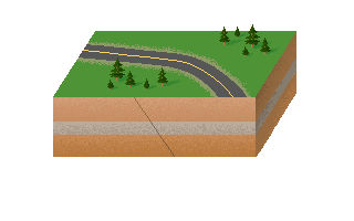
TYPE OF FAULT: left-lateral strike-slip
LENGTH: at least 73 km; possibly as long as 90 km
NEAREST COMMUNITIES: Twentynine Palms, Joshua Tree, Yucca Valley
MOST RECENT RUPTURE: Holocene; experienced triggered slip in 1992, due to shaking from the Landers earthquake
SLIP RATE: about 1.0 mm/yr
INTERVAL BETWEEN MAJOR RUPTURES: uncertain
PROBABLE MAGNITUDES: MW6.5 - 7.5
OTHER NOTES: Forms several cross-cutting relations and complex intersections with other faults.
This fault is featured on the following maps:
Mojave Fault Map
Southern Fault Map